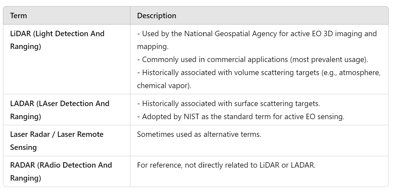
LiDAR (Light Detection and Ranging) is widely used in commercial applications and for active electro-optical (EO) 3D imaging and mapping. Historically, LiDAR has been associated with measuring volume-based targets, such as aerosols, while the term “ladar” (LAser Detection And Ranging) has been used for surface-based reflections. Although the terms are often used interchangeably, LiDAR has gained more widespread usage, especially in commercial sectors like automotive LiDAR. This variation in terminology, along with different ways of capitalizing the acronym, sometimes leads to confusion. Common variations include lidar, LIDAR, LiDAR, and LADAR, but the term LiDAR has recently become the most prevalent.

LiDAR has grown in popularity primarily due to its applications in the commercial sector, such as in self-driving vehicles. A Google Ngram chart shows that since the 1960s, the term LiDAR has been far more widely used than ladar, particularly after the 2000s.
Due to its increased usage in various industries, people are more likely to associate the term LiDAR with active EO sensing than ladar. In the context of EO sensing, LiDAR is now recognized as the primary terminology for systems that utilize laser-based ranging techniques. Its versatility and expanding use in areas such as environmental mapping, navigation, and 3D imaging further solidify its position as a key tool in both research and industry.


